
Overland Flow Pathways [England]


--
https://environment.data.gov.uk/dataset/36e7f4d3-61b2-4e64-aaa2-2b85bceb61a9 <-- shared technical resource / overview
--
H/T @Peter Spencer | Associate Director of Archaeology and Heritage Data Management
“Interesting geospatial dataset from the UK Environment Agency - The overland flow pathway for England. The polyline GIS vector dataset describes the likely flow routes of water along with potential accumulations of diffuse pollution and soil erosion features over the land…”
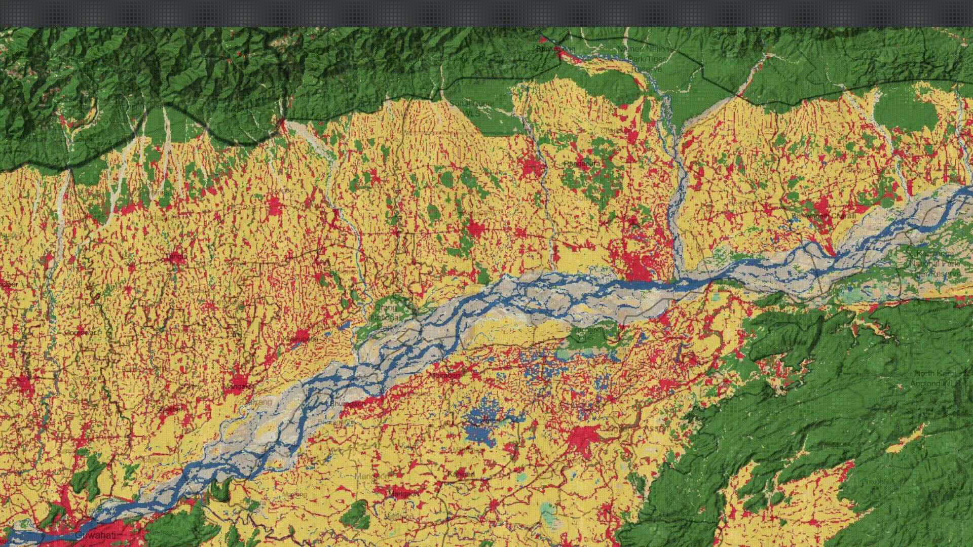
“The Most Probable Overland Flow Pathway dataset is a polyline GIS vector dataset that describes the likely flow routes of water along with potential accumulations of diffuse pollution and soil erosion features over the land.
It is a complete network for the entire country (England) produced from a hydro-enforced LiDAR 1-metre resolution digital terrain model (bare earth DTM) produced from the 2022 LiDAR Composite 1m Digital Terrain Model. Extensive processing on the data using auxiliary datasets (Selected OS Water Network, OS MasterMap features as well as some manual intervention) has resulted in a hydro-enforced DTM that significantly reduces the amount of non-real-world obstructions in the DTM. Although it does not consider infiltration potential of different land surfaces and soil types, it is instructive in broadly identifying potential problem areas in the landscape.
The flow network is based upon theoretical one-hectare flow accumulations, meaning that any point along a network feature is likely to have a minimum of one-hectare of land potentially contributing to it.
Each segment is attributed with an estimate of the mean slope along it.
The product is comprised of 3 vector datasets: (1) Probable Overland Flow Pathways, (2) Detailed Watershed & Ponding and (3) Errors. Where Flow Direction Grids have been derived, the D8 option was applied…”
#GIS #spatial #mapping #environment #Elevation #Hydrography #hydrology #remotesensing #survey #hydrologicflow #flow #catchment #DigitalElevationModel #LiDAR #remotesensing #earthobservation #opendata #UK #England #Britain #overlandflow #water #hydrology #risk #hazard #pollution #soil #erosion #flood #flooding #risk #hazard #naturalhazard #network #polyline #DTM #landscape #slope #D8 #watershed #ponding #flowdirection #environment #hydroenforced #digitalterrainmodel
@Ordnance Survey | @UK Environment Agency