

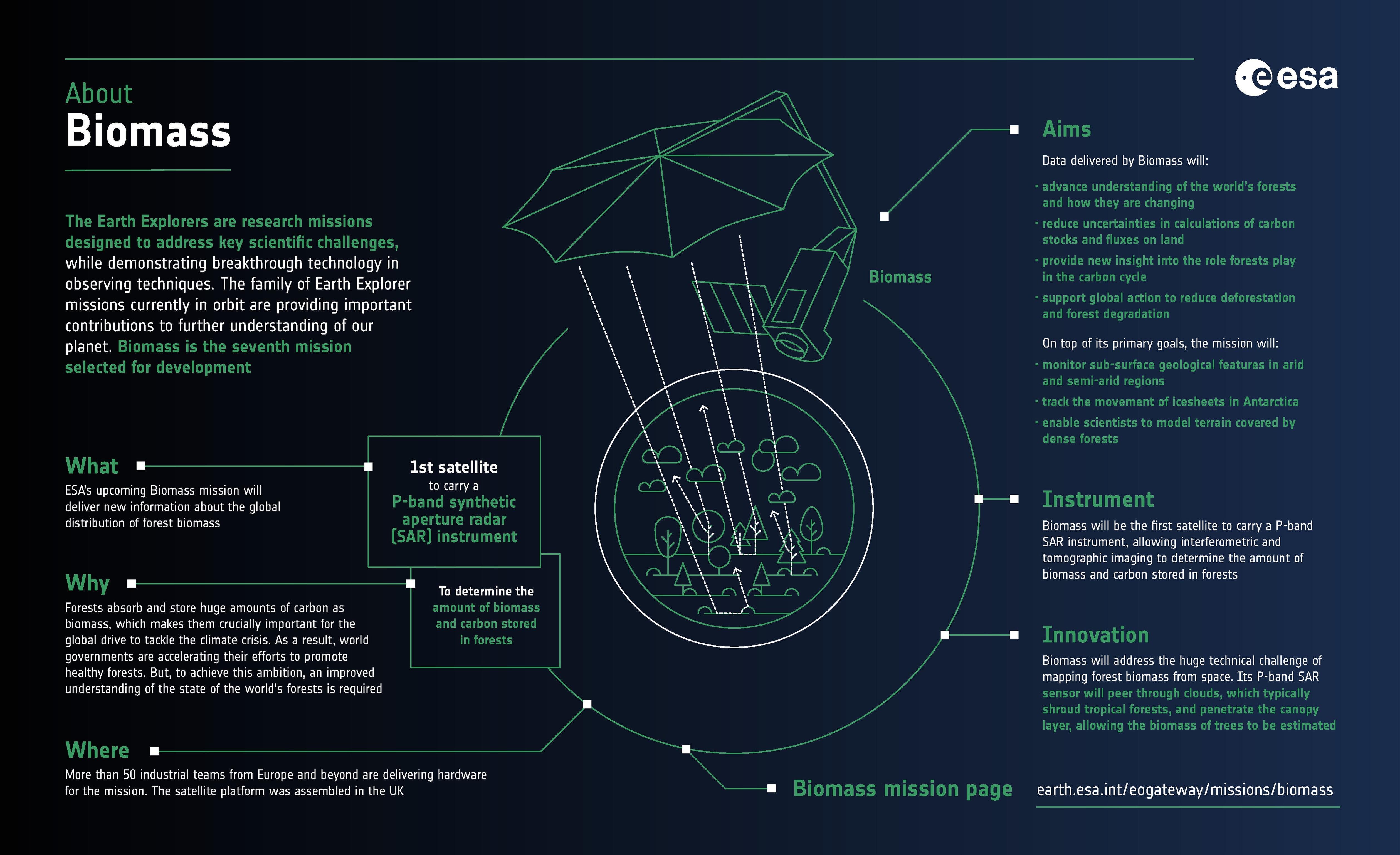
https://www.esa.int/Applications/Observing_the_Earth/FutureEO/Biomass <-- shared Biomass information hub
--
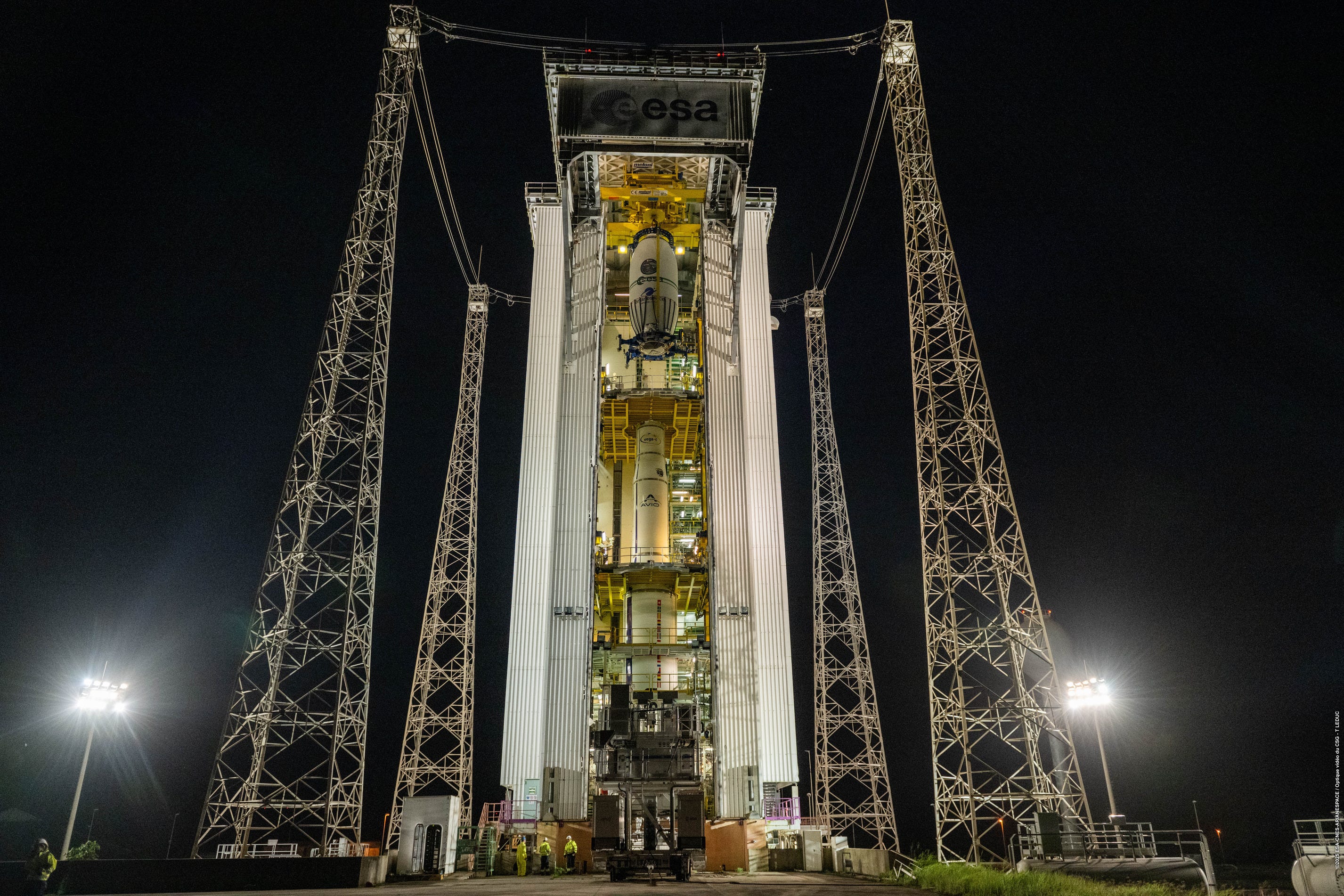
“Yesterday, the European Space Agency (ESA) successfully launched the BIOMASS satellite, kicking off a new era in how we monitor forest carbon from space.
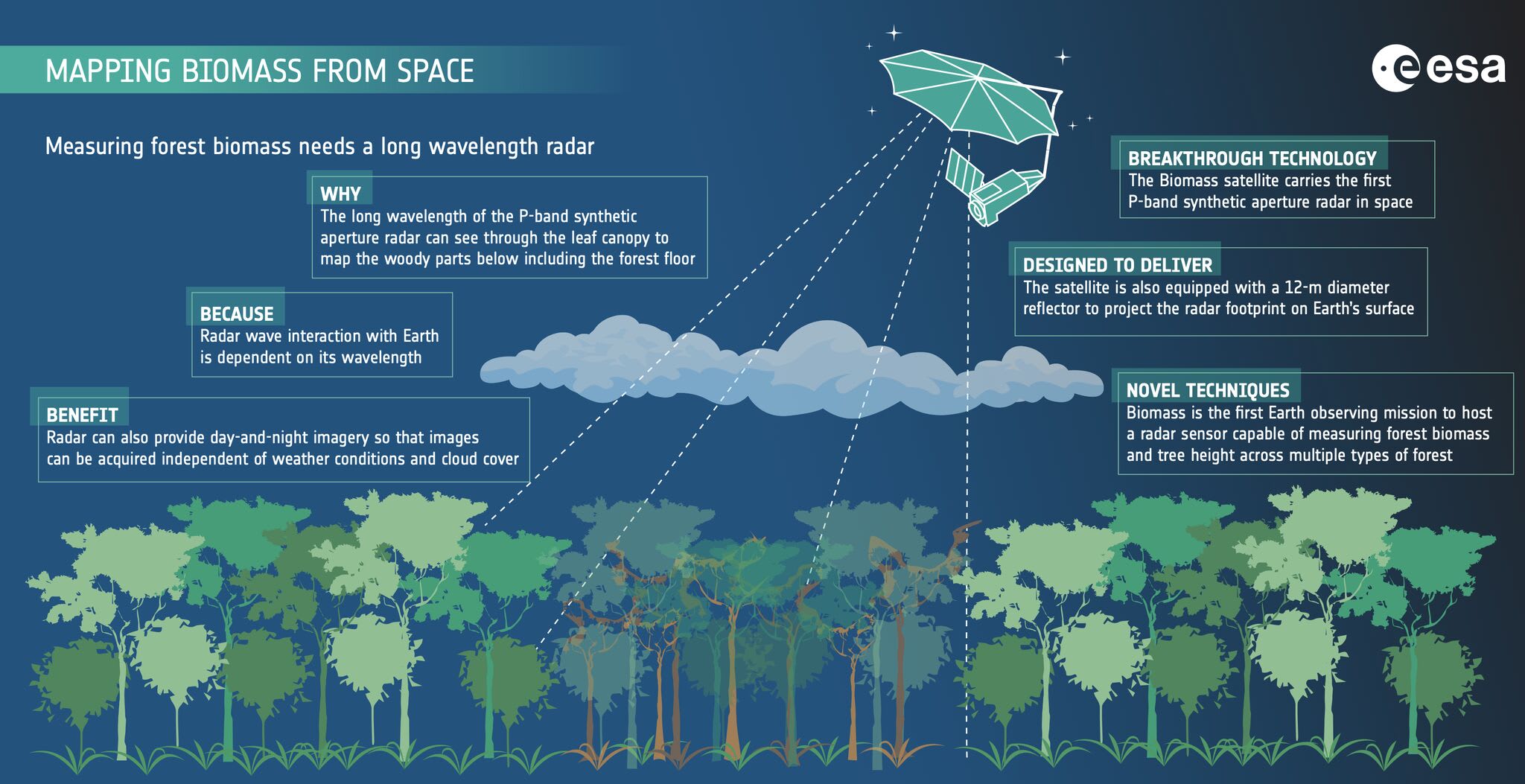
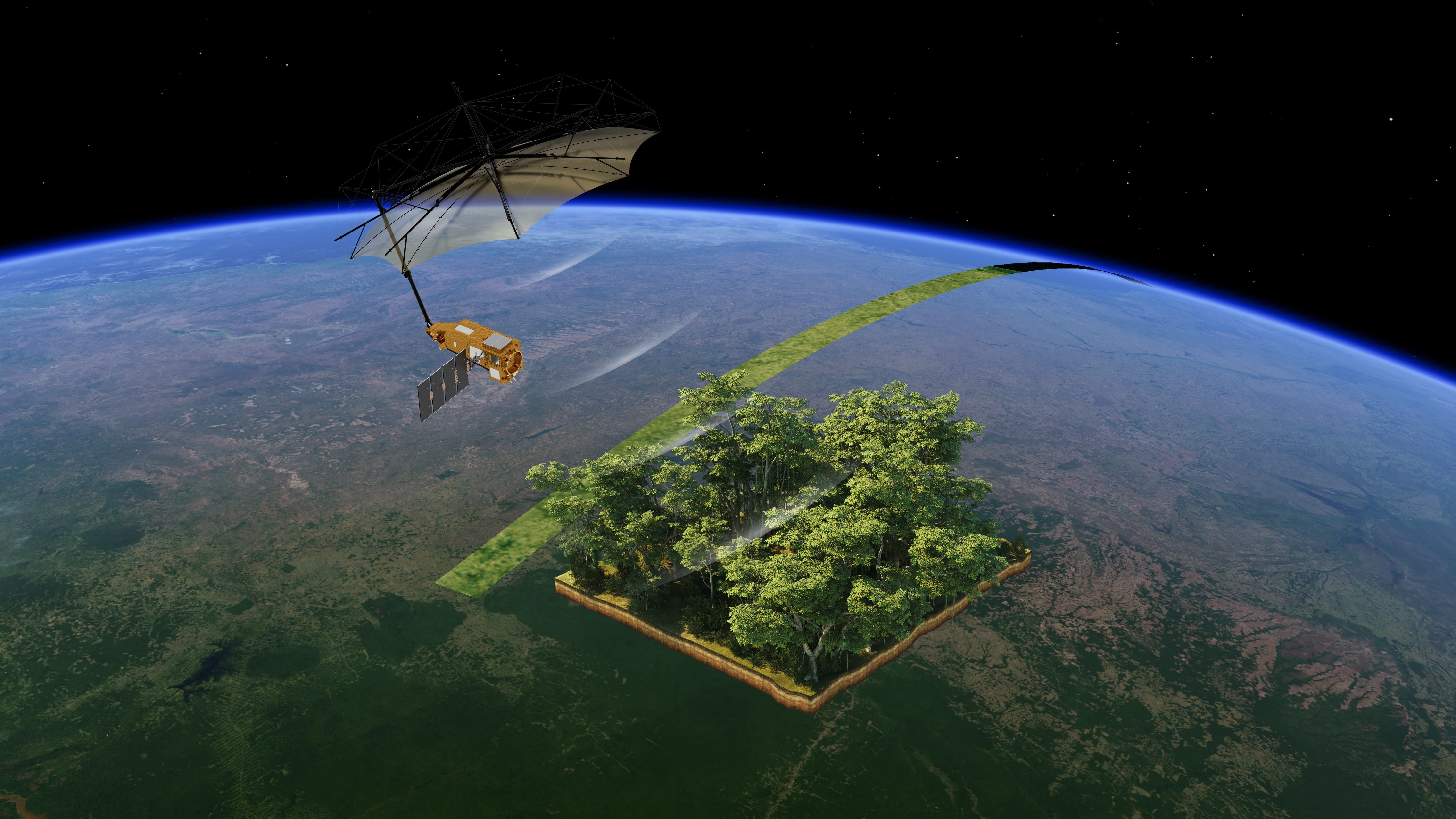
BIOMASS is a real game-changer. It carries a P-band synthetic aperture radar (SAR)—a powerful instrument that can penetrate dense forest canopies to map their 3D structure using tomographic imaging. For the first time from space, we’ll be able to accurately estimate the volume of tree stems and branches—the main components of aboveground live biomass—with a level of detail we’ve never achieved before.
The mission is especially focused on wet and dry tropical forests, where thick vegetation and persistent cloud cover have long made remote sensing a challenge. BIOMASS is designed to track spatial patterns and changes in high-biomass landscapes, delivering essential data for carbon accounting, climate science, and forest management.
If you’d like to explore the mission in more depth or access its data, ESA has created a dedicated information hub [link above]…”
#GIS #spatial #mapping #biomass #satellite #remotesensing #earthobservation #spatialanalysis #spatiotemporal #vegetation #forest #radar #canopy #tomography #imaging #geomorphometry #forests #carbon #carbonaccounting #climatescience #management #planning #ecosystems #ESA
